Date and place
- March 25th, 1814 around Fère-Champenoise, 36 kilometers southwest of Châlons-en-Champagne (France).
Involved forces
- French army: 22,450 men, including 4,350 horsemen, under the command of Marshals Auguste-Frédéric Viesse de Marmont, Duke of Raguse, and Édouard Mortier, Duke of Trévise.
- Austrian, Russian and Prussian army: 26,400 horsemen under the command of Field Marshal Karl Philipp zu Schwarzenberg, Grand-Duke Konstantin Pavlovich of Russia and General Friedrich Kleist von Nollendorf.
Casualties and losses
- French army: 9,000 men, including 4,000 prisoners.
- Austrian, Russian and Prussian army: 4,000 killed or wounded.
Thanks to their victory at Fère-Champenoise over Marshals Marmont and Mortier, the Allies opened the road to Paris. Moreover, the scale of their losses took away from the vanquished any hope of slowing the enemy's advance sufficiently to give Napoleon time to intervene.
The field
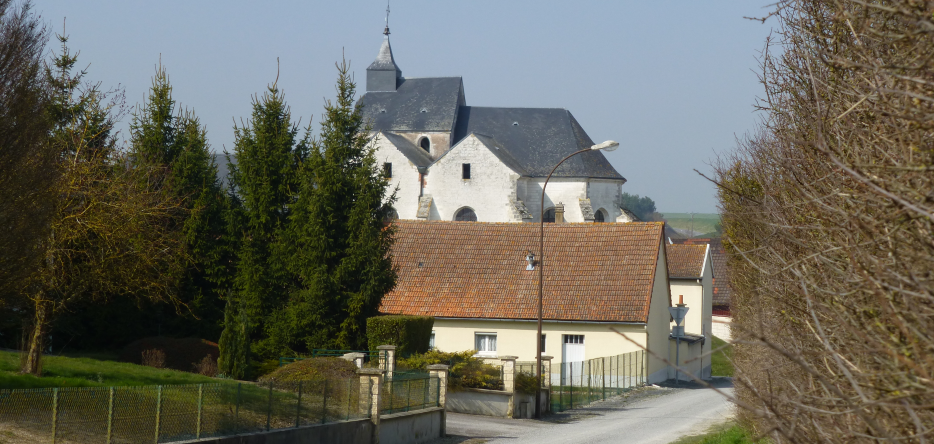
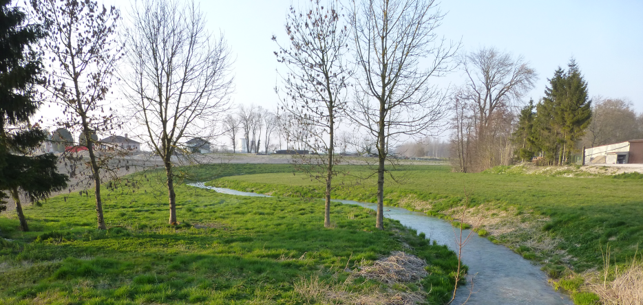
The battlefield extended to the west, north and east of Fère-Champenoise [48.75305, 3.99201], a town located in chalky Champagne, between the Marne and Aube valleys, on the right bank of the Vaure river.
The fights
French Marshals Marmont and Mortier first confronted the cavalry of Karl Philipp zu Schwarzenberg on the side of the main road from Vitry to Sézanne.
Simultaneously, General Michel-Marie Pacthod , who provisionally commanded two divisions of the VII and XI Corps, was confronted by the cavalry of the Army of Silesia near Villeseneux [48.84110, 4.14634].


Around 4 p.m., the two fights joined on the Fère-Champenoise side.
Aftermath
This French defeat opened the road to Paris to the Allied troops.
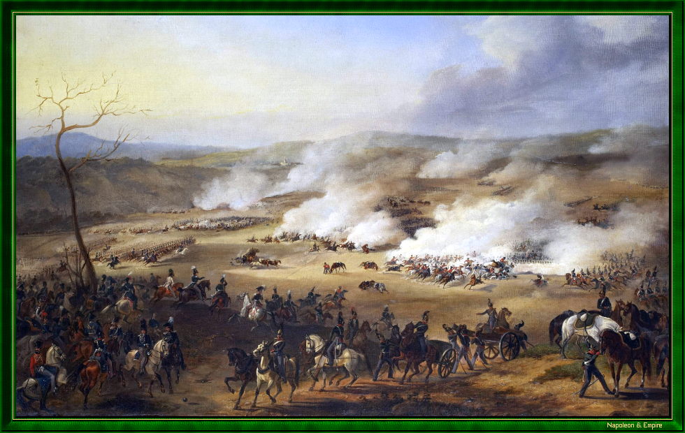
Picture - "Battle of Fère-Champenoise, March 25, 1814". Painted by Alexander Ivanovich Dmitriev-Mamonov (1787-1836).

 Display the map of the Campaign in northeast France in 1814
Photos Credits
Photos by Lionel A. Bouchon.Photos by Marie-Albe Grau.
Photos by Floriane Grau.
Photos by Michèle Grau-Ghelardi.
Photos by Didier Grau.
Photos made by people outside the Napoleon & Empire association.